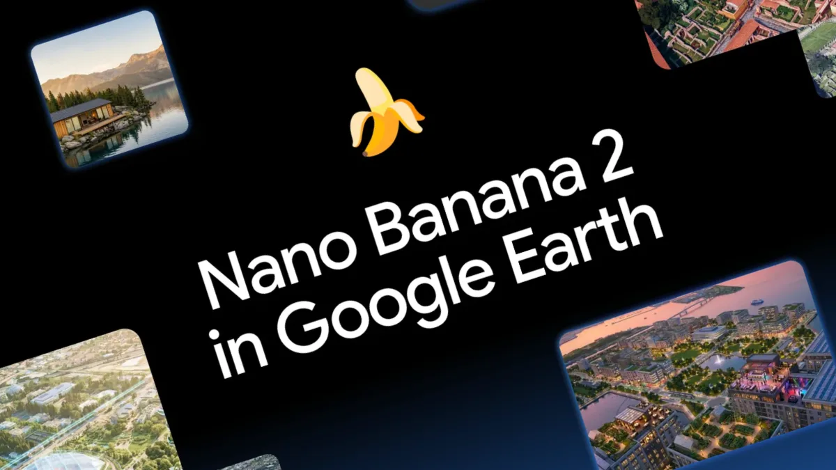
Google unveiled an update to Google Earth on Thursday that would let users leverage its Nano Banana image generation system to artificially "transform" real-world locations. Within a day, following widespread criticism, the company reversed course on Friday, pledging to develop "implementing stronger guardrails" before reintroducing the capability.
This episode joins a growing catalog of AI product launches that carry serious implications for how information moves through society. Google did not simply layer AI onto an existing tool—it fundamentally altered the nature of one of humanity's most relied-upon sources of visual truth. For over twenty years, Google Earth has earned credibility among journalists, human rights monitors, independent researchers, and judicial systems. This trust stems not from perfection, but from its role as a timestamped, verifiable archive of the physical world.
The platform has become woven into the fabric of global fact-checking infrastructure. By embedding generative image capabilities, Google risked dismantling that relationship. Google Earth would have ceased to function purely as a historical record and instead become a factory for plausible but fabricated realities, blurring the line between a foundational reference tool and a synthetic media generator.
What emerged from this incident extends well beyond a single misstep in product management. The episode illuminated how readily generative AI can erode confidence in public information systems when corporate governance lags behind technological capability and when business incentives override concerns about information integrity. It underscores a critical lesson: organizations like Google must cultivate deeper partnerships with external experts in civil society who possess the foresight to identify such dangers before launch.
WITNESS flagged precisely these concerns in its 2024 analysis examining generative AI's role in conflict zones. Among the principal hazards identified was the capacity to fabricate synthetic depictions of military engagements, humanitarian disasters, and structural damage anchored to actual geographic coordinates—a capability that would severely complicate verification efforts during armed conflict.
Real-world consequences have already materialized. During the recent Iran-Israel-US conflict, artificially generated satellite imagery falsely depicting destroyed American military installations circulated extensively across social platforms. These counterfeit images were constructed by layering synthetic destruction effects onto legitimate Google Earth photographs of a U.S. naval facility in Bahrain, maintaining authentic geographic details to enhance credibility. The manipulated content accumulated hundreds of thousands of engagements before BBC Verify and other fact-checking organizations debunked them. This development should have been predictable. The risks were articulated in a December 2025 Reuters Institute piece on how AI undermines open-source intelligence fundamentals, and researchers including Henk Van Ess have documented how these vulnerabilities manifest in practice.
The most dangerous outcome is not a single persuasive fabrication. Rather, it is the proliferation of pervasive doubt: an information landscape where genuine documentation, synthetic content, misleading technical analyses, and flawed AI detection outputs all coexist, making it progressively harder to distinguish fact from fiction.
Throughout investigations into the Iran-Israel-US conflict, this pattern emerged repeatedly. Authentic material was dismissed as artificially created. Fabricated content was deployed to represent genuine incidents. Technically sophisticated-looking assessments were weaponized to discredit legitimate journalism. The aim shifted from persuading audiences of falsehoods to rendering reality itself unknowable.
Google's decision to withdraw the feature merits acknowledgment. Yet halting a single capability does not address the fundamental vulnerability that its temporary availability exposed. Google promoted the tool using scenarios such as rendering "a visualization of your future house nestled perfectly in the actual landscape." However, evaluating products solely on their intended applications misses the point. Assessment must encompass foreseeable misapplications as well. In this scenario, the obvious potential for abuse should have prompted substantive engagement with journalism and civil society groups before the product reached users.
Tech companies including Google bear responsibility when they carelessly expand what society considers normal or acceptable in terms of manipulation. Admittedly, satellite and geographic imagery manipulation predates Google's tool—geospatial images were altered before this (as Bellingcat revealed in its MH17 investigation), and alternative methods exist to produce comparable results. Satellite imagery has been a focus of deepfakes research since its inception. However, a vast chasm separates technical feasibility from seamless integration into one of the world's most authoritative geographic databases. By embedding this capability directly, making it effortless, and distributing it globally, Google substantially reduced friction in creating location-specific deception while normalizing tampering with a previously relatively reliable reference source.
The challenge intensifies given a verification sector already struggling to manage the expanding volume and diversity of synthetic media. Contemporary AI detection systems were primarily designed to flag manipulated facial features and biometric markers—not synthetic terrain, altered landscapes, fabricated destruction, smoke effects, satellite imagery, or disaster imagery. As recent analysis has shown, the verification ecosystem is fundamentally misaligned with the categories of deceptive material that increasingly matter in warfare, environmental catastrophes, and humanitarian emergencies.
The verification ecosystem also contends with a persistent tactic: invoking plausible deniability to dismiss authentic content as machine-generated. Satellite imagery's history in human rights documentation includes its use in documenting atrocities in Sudan and Myanmar; competing against falsified ground-level images asserting events never transpired or that perpetrators differed. Now, satellite imagery itself can be synthesized to reinforce the deception, and the 'liar's dividend' weaponized to discredit what has historically been a dependable source.
What stands out most is the nonchalance with which Google introduced this capability. The company's initial statement highlighted protections centered on post-deployment solutions including SynthID watermarking and usage limitations. These represent valuable safeguards, yet they constitute an insufficient governance framework. Technologies that become embedded in the world's verification infrastructure demand fundamentally different deployment criteria—a feature that transforms one of the world's most authoritative visual sources requires standards that transcend typical product release protocols.
Technological capabilities with this magnitude of societal consequence necessitate thorough pre-launch risk evaluations, substantive engagement with impacted groups and civil society organizations, and protective measures commensurate with identified dangers. Watermarking represents an important protective layer, but it cannot substitute for thoughtful product engineering. In practice, images are captured as screenshots, cropped, compressed, redistributed, and stripped of metadata within moments. They exit Google's environment almost immediately, while the responsibility for distinguishing authentic from false content rests with journalists and investigators employing verification instruments already inadequate for this exact challenge.
This represents an inversion of proper responsibility. The burden should not rest on verification specialists to manage the fallout from increasingly sophisticated generative tools while technology corporations capture profits. Organizations deploying innovations that reshape how evidence functions should be obligated to establish safety before worldwide rollout, not expect the broader information ecosystem to adjust retroactively. Google's choice to temporarily suspend the feature indicates these objections are now receiving attention. The pressing question is why they were not foundational to product conception from the beginning.
Google Earth will doubtless persist as a vital global asset. However, by fusing established geographic reference material with instantaneous AI generation, Google jeopardized more than a single product. It endangered the foundational premises underlying visual verification. If technology companies aspire to create systems that become woven into the world's information architecture, they must cease treating them as consumer entertainment applications and instead govern them as infrastructure that shapes collective confidence, journalistic practice, and institutional accountability.
What happens next? Google indicates it will establish improved "guardrails." Yet can guardrails suffice when the tool's inherent accessibility, frictionless operation, and marketing emphasis fundamentally undermine the shared verification foundation in service of novelty, entertainment value, questionable fabrications, and streamlined property marketing?
Source: Tech Policy Press